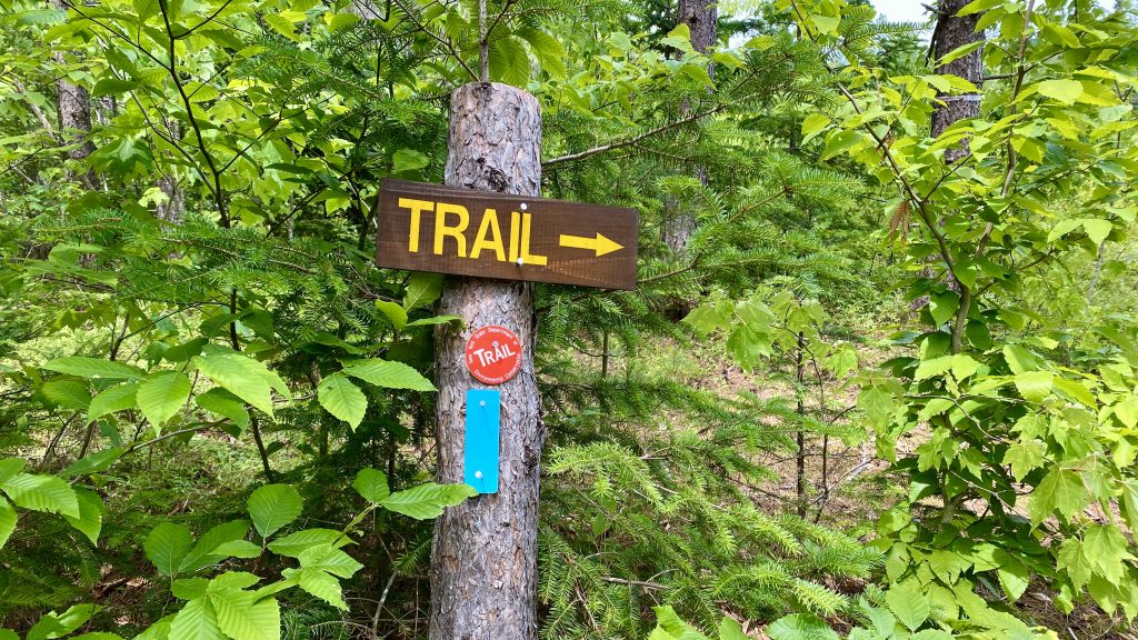
Since there is no youth music education for me to tour with this summer, I decided instead to explore the North Country National Scenic Trail (NCNST) in my native state of New York, one of eight states that hosts the nations longest NST. Born out of the National Trails Act of 1968, the NST system has grown to 11 recognized NST systems. Last summer I discovered the North Country Trail while touring through the mid Atlantic and upper midwest states. When I returned home, I retraced my route and discovered that I had crossed the trail nineteen times during my trip. I also learned that the trail was recently authorized to extend into Vermont to connect to the Long Trail/Appalachian Trail by the US congress and signed into law by the President as part of major legislation for the US Park Service. Vermont is now the eastern terminus of the 4,700 mile juggernaut that traverses, in a rambling manner, though the northern border states of VT, NY, PA, OH, MI, WI, MN, and ND were it links with the Lewis and Clark Trail. Last fall, I traversed the newly proposed connection through Vermont that you can read about in previous posts. During this Covid era and the magnitude of the trail, there is no way that I can do a complete end-to-end in one continuous effort, so I decided to get a good flavor with segment hikes, bikes and runs, and also to help out with some volunteer labor. To follow is the story of my first, three-day foray west on the North Country Trail into New York State.
Day one: Champlain Bridge to Pharaoh Lake Wilderness
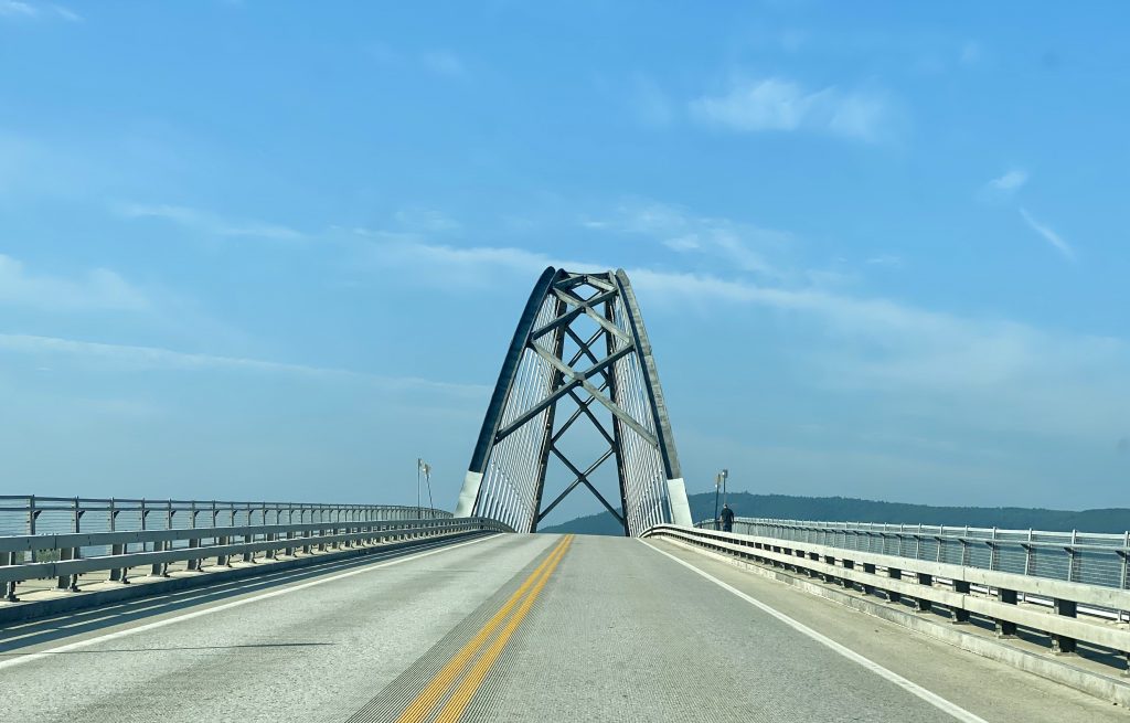
Heading westerly over the vertical crest of the Champlain Bridge, recently reconstructed in 2012, I entered New York State. I have made this trip several times over this bridge and its earlier version, as being a former NY stater and doing business in Vermont before moving to the Mad River Valley in 1995. The NCT does not have a clearly defined and signed corridor from the bridge west but the online interactive map recommends a series of off the beaten path roads. This takes one through Ironville, an historic site of early American industry.

The first trail connection is in Paradox, NY – the Long Swing Trail that leads into the Pharaoh Lake Wilderness, one of several designated forest reserves in the Adirondack Park. I chose to hike to Crane Pond, then up Pharaoh Mountain and back from the east side of the wilderness. This proved to be a bad choice. The parking at the end of the maintained and improved road had no information and there was little way finding signage.
As I set off on foot on Crane Pond Road (drivable but in disrepair) I quickly realized that I was not prepared for what turned out to be Adirondack enemy #1 – deer flies. The temperature being in the mid-80s, I had exposed legs and arms and did not pack the right stuff. I endured the onslaught of the numerous and highly agile winged biters for about a mile, then I turned around in retreat to execute a Plan B. After a brisk walk back to the car, I felt a little like Gen. McArther, and resolved to return to PLW. On to plan B. First stop – The Town Store in Schroon Lake. Like most of my recent shopping trips, I did not linger, asked them if they had head nets and bingo. My quick stop and mission complete, I vowed to return and explore the confines of this iconic retailer under better circumstances post Covid.
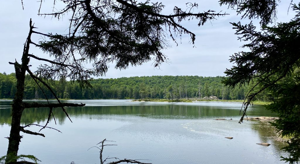
Siamese Ponds Wilderness – Cisco Brook Trail
Now that I was prepared for the deer flies with long pants, a lightweight hoody, and a head net, I chose to explore the Siamese Ponds Wilderness. From my virtual tour of the North Country Trail, I realized that the trail alignment traverses through several forest areas connected by road walks. The SPW was another vast region of the Adirondack Park wilderness boarded by productive forest harvesting lands with a long dirt road approach to the trailhead the heads north from Speculator. At the trailhead, I set off on foot with the necessities, lunch, and an emergency beer on the Cisco Brook Trail. At the junction of the Kunjamunk Trail, I chose to head toward Rock Pond, another 1.2 miles, have lunch and turn around. This was my first solo hike in the middle of the Adirondacks. As accustomed to hiking alone as I am in Vermont’s wilderness, I questioned myself here and decided to keep it short with easy way finding back.
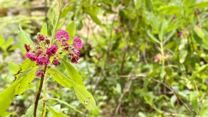
What a wonderful walk in the woods with no appreciable elevation gain, a welcome break from my frequent peak bagging in Vermont. Soft soils with a cover of needles and duff made my feet sang praise of relief from days of abuse on the jagged granite of the ridges along the Greens. The ground was dry as toast and I began to ponder about what I would do if there was a forest fire. That concern was assuaged by the forecast of rain ahead and I relaxed into a fine pace to keep ahead of some of the pesky fliers around my head. Arriving at Rock Pond, I settled down on a rock outcrop peninsula on the small, remote waterbody. The blue sky above mirrored in the water below. Across the pond was a large rock. We might call that an erratic boulder in VT, but I am not sure here. I began to scan the fauna around me – mosses, wildflowers, trees and shrubs. How nice to be in a different ecological region of the northeast, with similarities but a quite different feel.
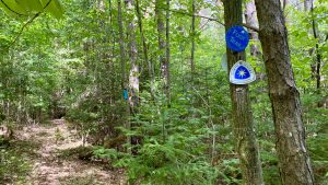
Confidently familiar now with my route back to the car, and even though there was no emergency, I chose to consume my Chinooker’d IPA, the self-designated official NCT beer. It was perfectly paired with my sandwich – Mehuron’s IGA corned beef with Cabot Seriously Sharp Cheddar cheese and mustard on Mad River Grain bread. Ahh, the fruits of my labor and the good hike. I love New York, and Vermont!
Heading back to the car for the next phase of my explorations, my mind went through and over topics and images as my feet scrambled over the rolling landscape. My steps, breathing and heart were in perfect stride together. What is it about hiking that gives you such freedom of thought and profound since of existence? Some hikes seem longer on the way back. This one did not. Once back at the car, I resumed the automotive portion of the ADK NCT tour and headed toward my final destination for the day, Kayuta Lake, but first visiting Oak Mountain Ski area. For some reason, I think I will be checking out this small and friendly place this winter.
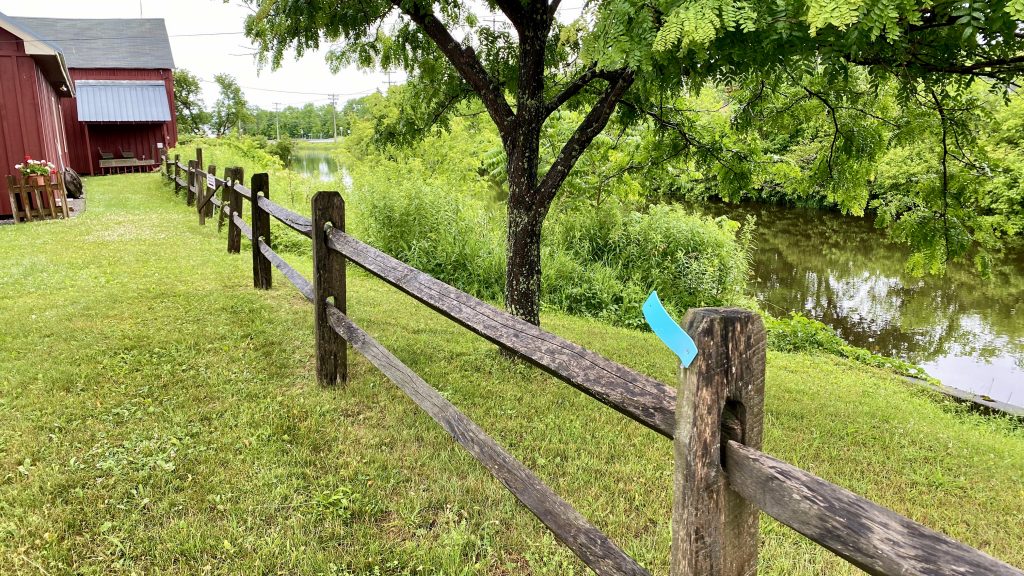
Day 2 – Black River Canal
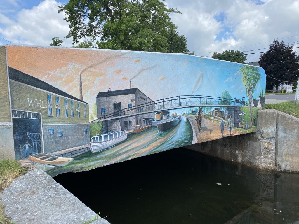
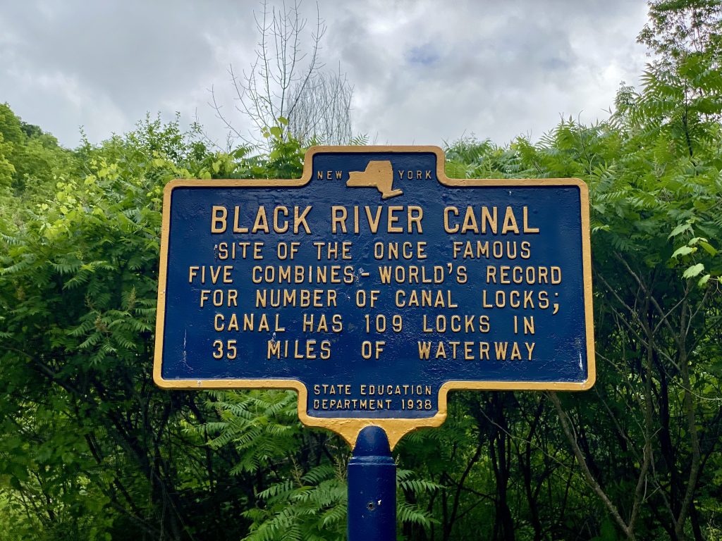
Finally the welcome rains came last night. And, fortunately for me, I did not have to hang the hammock, as I was a guest of my sister Susan and her husband Bob at their beautiful, new Cozy Cottage log home on Kayuta Lake. This lake in the southern Adirondacks is a popular summer spot for lakeside merriment, boating and relaxation with well-kept camps and year-round homes. The North Country Trail is within a short drive. The Town of Boonville is just north, the location of the junction of the Black River Canal and its feeder canal from Forest Port. This historic transportation corridor is a major leg of the North Country Trail. Again, Plan B was employed as the planned work party with the Adirondack Club (ADK) clearing the Little Woodhull Trail was canceled due to the rain.
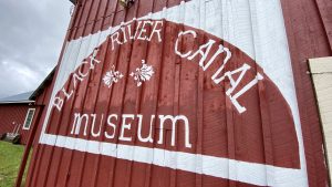
I have never had a bad day running in the rain, so I headed to Boonville for a run on the canal towpath. This corridor is managed by the Black River Environmental Improvement Association (BREIA) and part of a network of non-motorized cross-country ski trails. In July, the grassed tow path provides a nice flat and soft surface to run on. Once again, I was not prepared for the tenacity of the deer flies. Thinking that my running pace was enough to keep them at bay, I quickly realized that I was wrong. These fast and agile blankety-blankers were once again in a highly harassing mood and I found that my pace was quickened beyond sustainable. Turning around after 1.5 miles, I returned to Boonville. The air was heavily humid and frequent showers soaked me as I ran. This did not deter the onslaught of the biters, though. My pace quickened again as I knew that I was close to the end of the slog. I began to ponder the mules and horse of the past, towing barges, trotting with a freshness of pace knowing where they are and that grain, water and rest are just ahead.
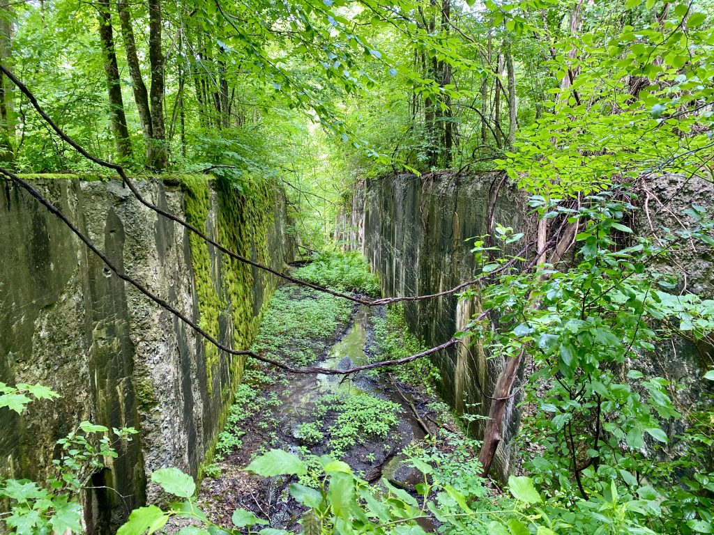
The Lansing Kill Gorge
“It’s a water level trade route, the whole shebang of life.” This is my favorite line from Walter Edmond’s Rome Haul, an historical novel about life on the early American canals. This passage ran through my mind as I walked up the Lansing Kill Gorge on the Black River Canal towpath. This section of canal that descends into the Mohawk Valley from the southern Adirondacks required several locks to lower and raise the barges. Lore is rich with stories of fights breaking out as barges vied for position to travers the busy locks. I was no longer fighting with the deer flies as once again I was fully armored and walking at a sustainable pace. Totally under the canopy of trees I enjoyed the shaded corridor. As you know, canals are perfectly flat and the tow path is consistent with the canal level. Walking along here, one realizes the occasional rise in the path and a careful pulling back of the underbrush reveals the man-made stone infrastructure of the old locks adjacent. Wouldn’t it be nice to have a project that would open up the vegetation to once again reveal these monuments of the past in their full glory.
I ascended to Pixley Falls State Park where I enjoyed a short respite and then returned down canal, at once again a nice deliberate pace. My next stop was Rome, NY where I planned to visit infrastructure that was originally constructed in 1758-62 -– Fort Stanwix. Now a National Historic Landmark, this fort was constructed at this strategic place along the early trade route known as the Oneida Carry during the early French and Indian Wars. This was a manifestation of the conflict between England and France that raged across the northeast and midwestern portion of the North American continent in the mid 18th century. If things had gone the other way, I would be living in New France, rather than New England. Maybe this would not have been so bad, as the French had better relations with and were much more respectful to the natives than the English. Oh, what a tragic consequence for the natives, but probably no worse for the Africans as the French were the third largest country involved in the slave trade. These were the thoughts that crossed my mind as I walked around the replica of the fort. Oh how concerned that I am as an American right now, as it seems that we have not quite put certain cultural conflicts behind us. I have hope, however, as I have met some great kids who seem to be on the right track toward inclusiveness. Thankfully for me, I was headed to Sue and Bob’s farm in Clinton for another nice dinner and great night sleep.
Day 3 – Erie Canalway Trail
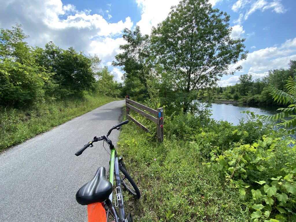
Rome was my birthplace in 1954, and the birthplace of the Erie Canal some 137 years earlier. From Rome, the early canal builders dug west toward Utica and Seneca, now Syracuse, where the terrain was flat and easy. The Long Level as it was known, is now the course of the Empire State Trail, Erie Canalway Trail. Wide, paved and flat, this trail is best enjoyed on bicycle. My gavel grinder with the grandfather seat was adequate for a nice morning ride from Lock 21 on the Barge Canal system, the 1918 version of the Erie Canal in Verona, NY. Here the old and new/old canal cross. The 1918 upgrade was built in the era of the Panama Canal with many of the engineering features the same only on a different scale. New York’s canal success and native NYer, Teddy Rosevelt had a very large impact on the successful completion Panama Canal. Today’s lock 21 is a fine example and an operational museum of early canal engineering at the turn of the 20th Century. It is fitting that the North Country Trail should follow this corridor, as the purpose and mission of the NCT is to link us to our natural and our cultural heritage. New York State is flush with both.
Lehigh Valley Railroad– the Gorge Trail
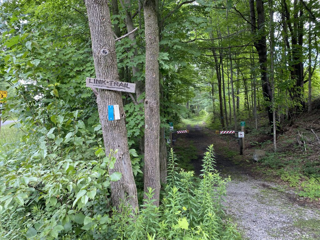
Central New York State is my hometown. Growing up in Verona, and working with a Syracuse printing company for 28 years, I have long-term and close contacts to the Oneida, Mohawk and Hudson Valley areas of the state. My afternoon adventure was joining a planned walk of the Gorge Trail organized by the Onondaga Chapter of the Adirondack Club near Cazenovia and Chittenango. Oh how nice it was to meet five fellow NY staters for a nice walk along the form railroad corridor. I have been a volunteer on many different social and educational endeavors, but rarely have I witnessed such dedication as the ADK Onondaga Chapter members, who travel over 200 miles round trip to maintain recreation trails in the Adirondacks.
The Onondaga was the host tribe of the United Nations of six Iroquois tribes known as the Haudenosaunee that resided in New York State prior to colonization. Considered to be one of the oldest participatory democracies on earth, the Iroquois provided an important structural model for the Founding Fathers developing the United States Constitution. Alas, New York State robbed them of 95% of their land.
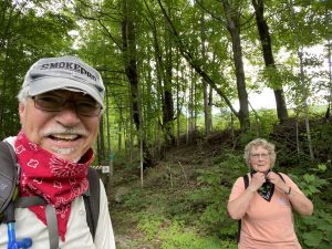
This day the party of five others had a nice walk in the woods along the well-maintained trail. The oppressive heat was mitigated by the complete canopy of trees that shaded the trail. There was also welcome relief from those darned deer files. During the course of my years of trail building, maintaining and advocating, I have met some incredible volunteers who stand out among the rest. This day, I met another such trail angel – Mary Coffin. Mary is the primary spirit behind the North Country Trail in NYS having given her blood, sweat and tears to the ADK since 1981. She was the organizer of the rained out work party the day before so I was very happy to meet her for the walk. At a comfortable pace the half dozen walkers paired up and walked two by two for the 5.5-mile out and back hike of the Gorge Trail. I had a chance to walk along with and talk with each one for a very enjoyable and rare social experience. Mary and I talked about the NCT and we covered a myriad of trail topics from proper benching to the delicate negotiations required with landowners, managers and regulators. We were masked up during this walk. Our new normal for social distancing prevented me from handshakes and hugs that were sorely desired upon parting. I also especially enjoyed getting to know the other members including Lisa the organizer, another Lisa, Jim, and Gerry. I look forward to working with Mary and others in the coming weeks at the next scheduled work party up in the Adirondacks.
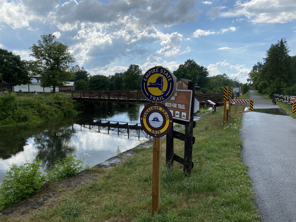
Following the friendly hike, I resumed my auto tour with a trip to the nearby Chittenango trailhead of the Old Erie Canal State Historic Park/Empire State Trail. Thirty years ago, my son and I rode our bicycles from Rome to Syracuse along this newly opened linear park that plies alongside the former original course of the water level trade route. I plan to return here with my bike again later this summer to relive the experience. I also look forward to my foray into the Finger Lakes Region trails that carry the NCT down through the Allegany Plateau and into Pennsylvania. These trail links are part of the greater system of trails managed by the Finger Lakes Trail Conference (FLTC). I also look forward to meeting the trail angels who are responsible for this extraordinary network of trails that extend throughout southern NYS. Meanwhile, I will keep you posted on these upcoming adventures and other happenings along the Mill Brook.
