Out through the fields and the woods…*
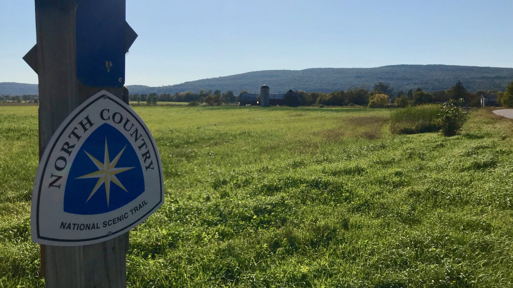
The North Country Trail – Prunier Road, Weybridge, Vermont
September 23, 2019
Last Saturday, I completed another reconnaissance for my upcoming adventure to traverse the Vermont section of the nation’s longest National Scenic Trail – the North Country Trail (NCT) on October 1 through the 4. It is never a trip wasted to visit one of the most interesting parts of Vermont, the Champlain Valley. So, I took the day to reconnoiter the proposed section of the NCT from the Champlain Bridge through the towns of West Addison, Addison, Weybridge and Middlebury. Prior to moving to the Mad River Valley in 1995, I was a frequent visitor to the Middlebury area, staying at the Waybury Inn, East Middlebury, on my weekly business trips. I fondly called it the Inn of the Five Sisters. This story will likely be told again, as I am staying there for three nights during my adventure.
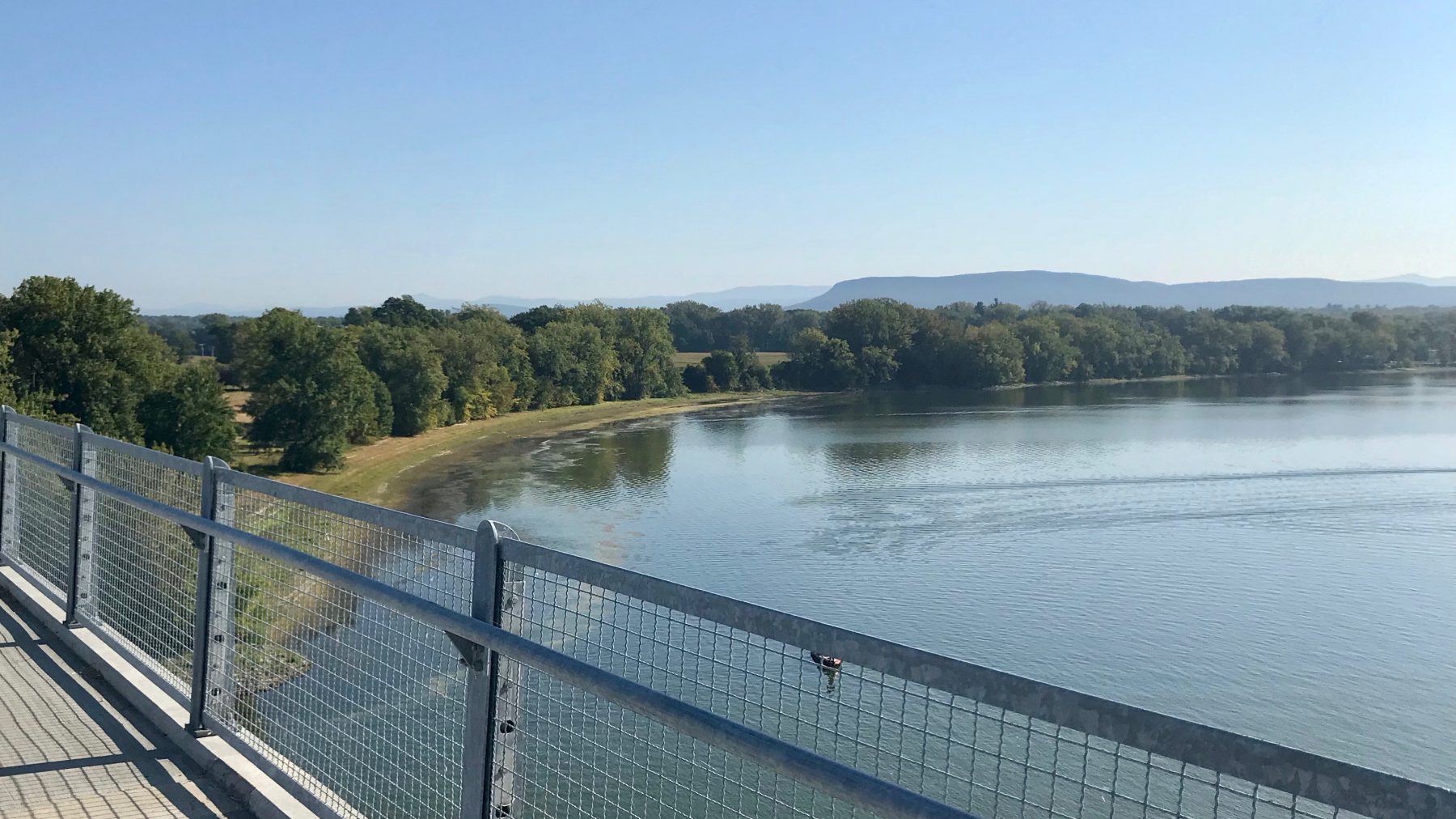
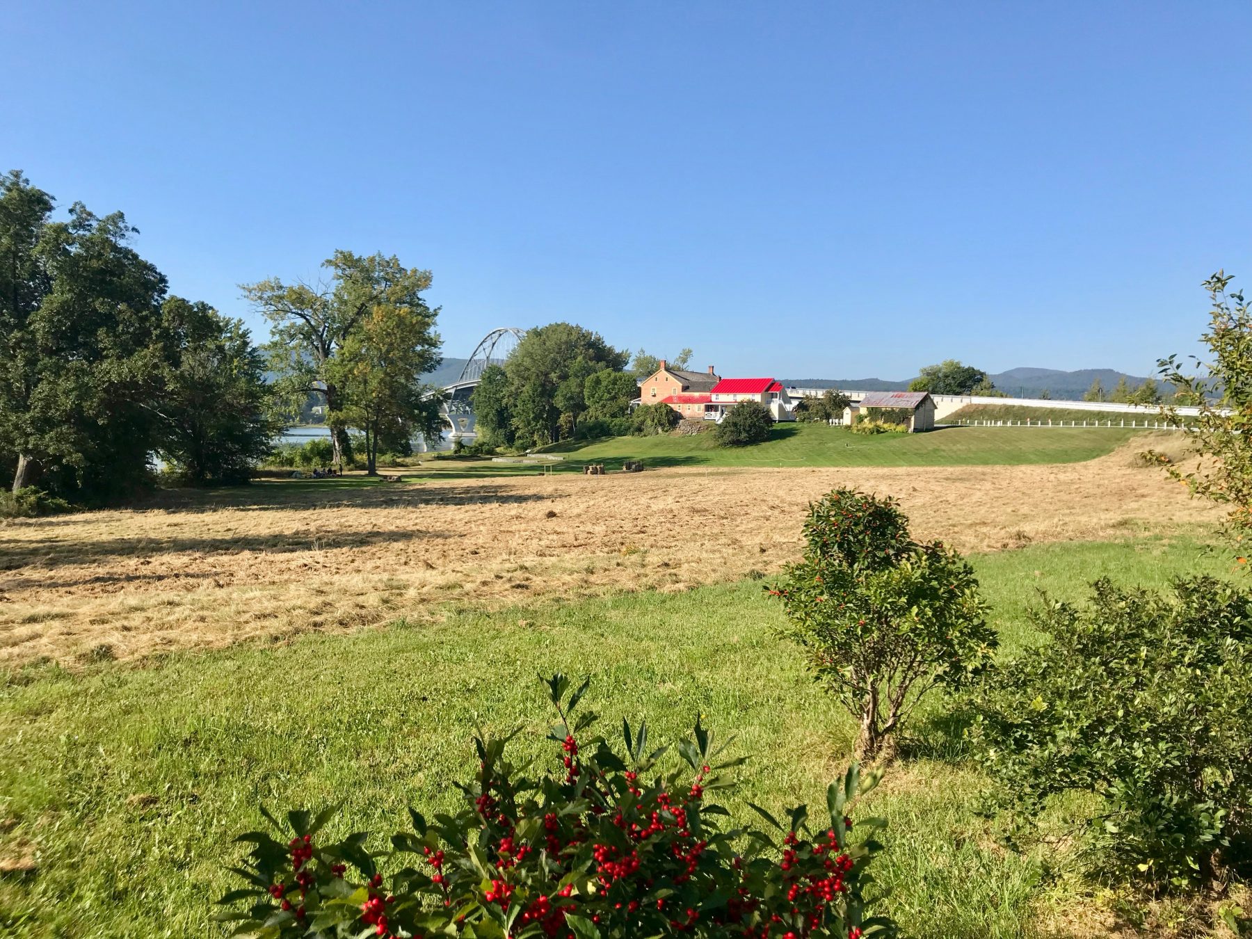
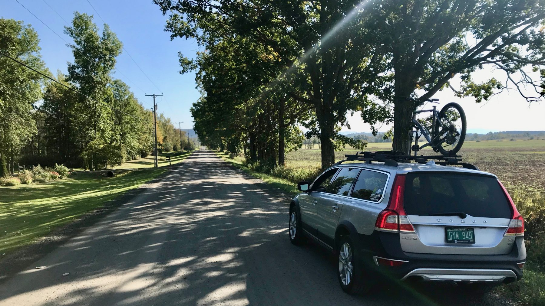
This recon. involved using the Silver Bullet (my Volvo XC70), my Giant bicycle and my Merrill hiking boots. I began with a visit to the Champlain Bridge at Chimney Point and an auto tour of my planned bicycle leg through the lower valley to the trailhead at Snake Mountain. Walking up to the apex of the impressive new structure that links Vermont and New York, I had a clear view of the landscape before me, miles of farmland, mostly flat until you see the first wave of mountain ridges to the west. Driving westerly on Route 125, the suggested route of roadways turns left onto Town Line Road. This graveled route runs directly between the towns of Addison and Bridport. It is straight, relatively flat and lined with maple trees. With the windows down, I drove at a more than leisurely pace to enjoy the bucolic countryside of open fields and sparse hedgerows. I found this gem of a back road to be perfectly suited to experience the Champlain Valley by car, bicycle or foot.
As I progressed westerly, the land began to rise. Reaching the west side trailhead for Snake Mountain, I changed into my hiking boots, loaded up the pack and headed up the Snake Mountain Trail. The only signage that I observed on the way up was acknowledging the Wilmarth Woods Natural Area, protected by the Nature Conservancy. While in the lot, I met Michael from Pennsylvania, visiting his mother in Middlebury who decided to check for migrating birds from the summit. We enjoyed a great conversation until we diverged in the wood, he taking the path less traveled. As an architect he hikes so that he can think. He studies, teaches and writes about the influence of architecture on the psychology of people. The conversation vaulted over my head a few times. Another person that I met along the way was Allison, running her favorite backyard trail. She oriented me to the connection to the parking area on the east side that I will be taking during my adventure. For the day’s hike, I was headed to the summit. The trail is obviously a former carriage road, wide enough for people to walk abreast, and it is well maintained. For good reason, as I observed dozens of other hikers that day with the same goal of the summit and bird watching opportunity.
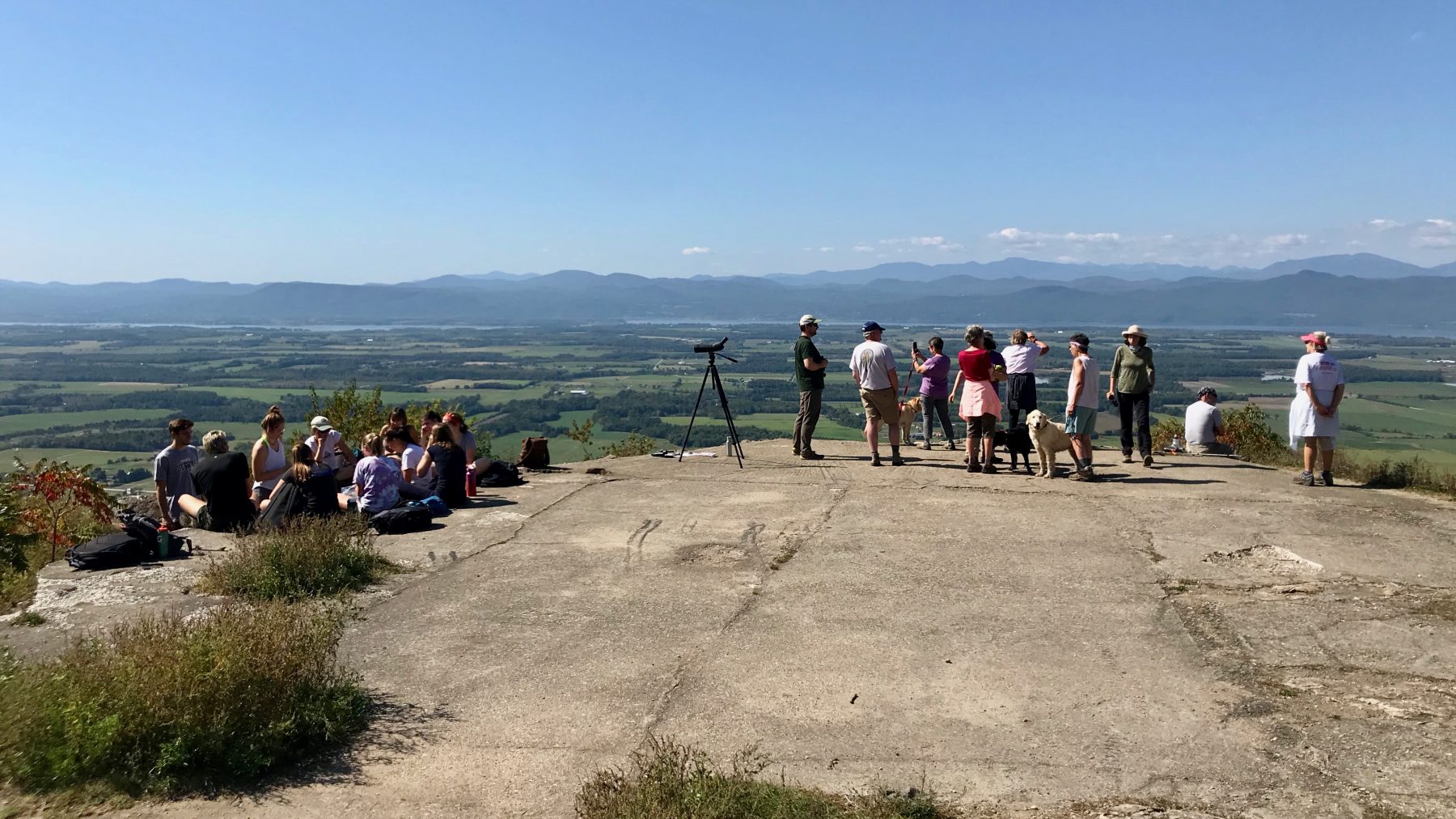
As it turned out Vermont Department of Fish and Wildlife was hosting an event to observe the migration of hawks. While I was at the summit, I observed a breathtaking panoramic westerly view of the Champlain Valley, the lake and the Adirondack Mountains in New York. I was glad that I threw my binoculars in my pack to observe the Turkey Vultures and Ravens that were aviating for fun using the thermals and updrafts along the ridge. It reminded me of my recent flight in a glider over Sugarbush this summer with my pilot friend Johann. I did not intend to stay as long as I did at the summit but it was an absolutely beautiful day to hangout with so many others including several UVM students. This provided me an opportunity to talk about the trail and the NCT with some locals and visitors. I learned that the fine main trail that I ascended once provided access for the Grand View Hotel originally built in 1870. Only the old foundation remains. A goal of the North Country Trail is to link important natural and culturally significant areas, Snake Mountain being a prime example. Leaving the summit and descending back to the lot, I passed wave after wave of uphill traffic heading to the grand view. Wildlife viewing is an important activity that compliments the traditional sportsmen’s use of these wildlife management areas.
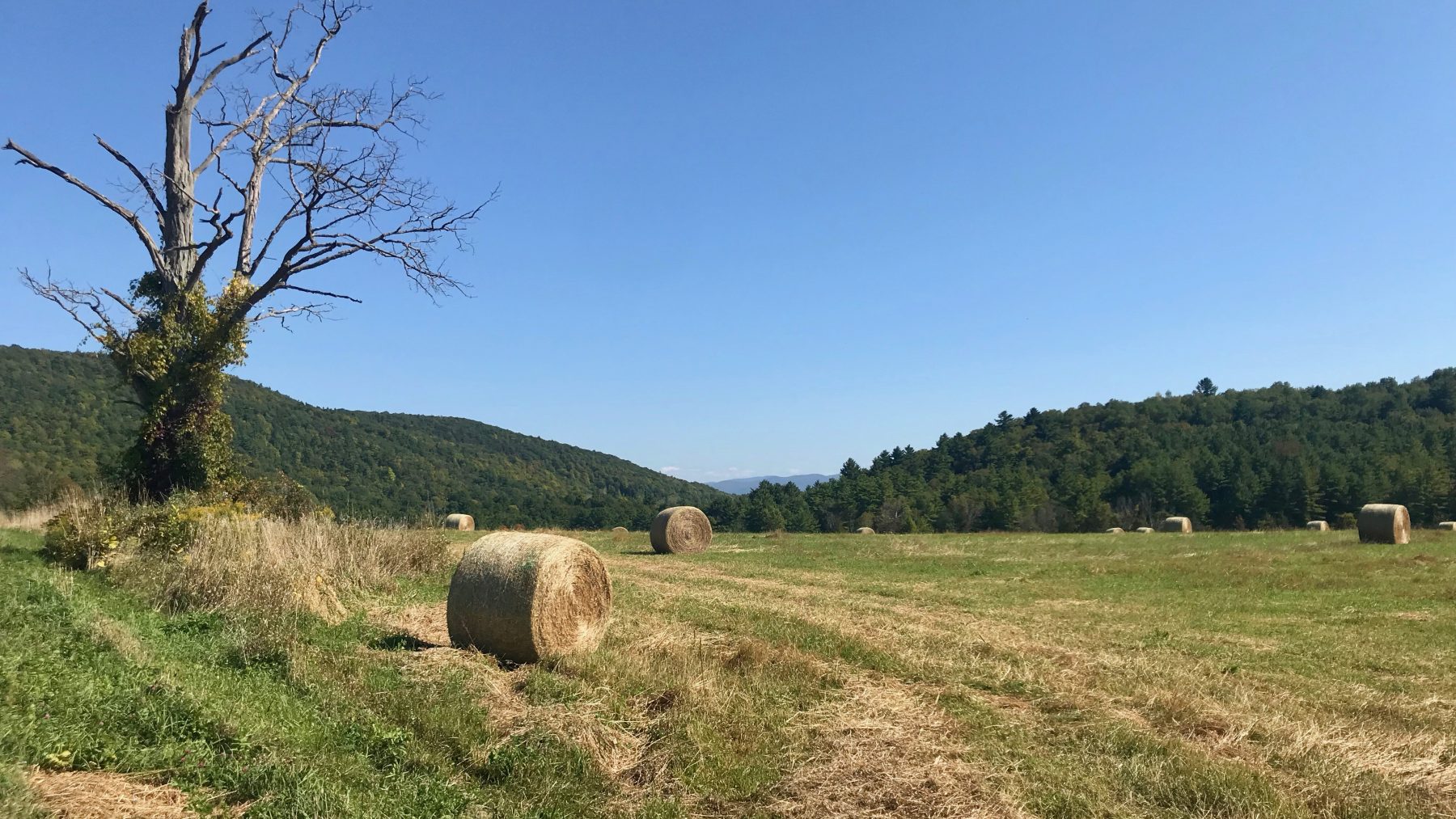
Heading by car to the opposite side of Snake Mountain, I once again rolled down the window and enjoyed a beautiful drive though the Vermont working landscape. I was heading to the Town of Weybridge to check out the Trail to Prunier Road, another trail system that has become part of the NCT. And, boy was I surprised to see the blue blazing and trail medallion for NCT at the trailhead. My plan is to run this section of trail as the final leg of day one on October 1. This day, since I had killed so much time on Snake Mountain, and not seeing any signs to the contrary, I decided to bike it.
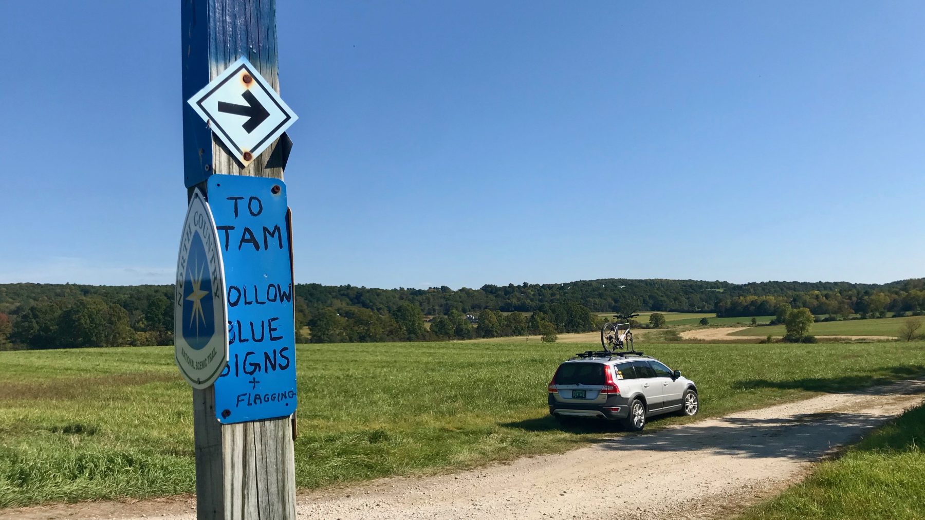
My destination was Monument Dairy in Weybridge Hill. This well signed and blazed trail is comprised of farm field lanes with a fairly short section of wooded buffer between the fields where I walked my bike not wanting to leave any tracks in the wetland soils. This day, it was as dry as it gets, but one can see that it is often underwater during the spring and high rain events. The currently hardened clay soil most certainly becomes rather soft and slippery when wet. As mid-afternoon began to lower the sun, the light and temperature became perfect for this idyllic tour of the land that provides the feed for the happy cows of Monument Dairy Farm.
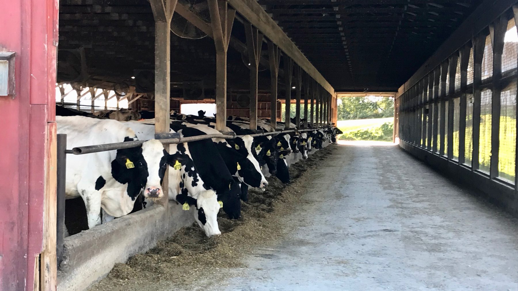
How fortunate that we are to have such a fine family farm steward this land, providing public access and producing delicious organic milk. You’ve got to try the chocolate milk in the beverage case. Using the bike was a great idea for the day’s reconnaissance, but I really look forward to running the Trail to Prunier Road next Tuesday. I will pick up the upper end of the trail that leads to the Trail Around Middlebury on day two. I will be sure to have the cooler waiting with a pint of milk when I arrive after biking, hiking and running from Champlain Bridge. I will also have some Seriously Sharp Cheddar from Cabot Creamery in my pack to enjoy and nourish me along the way.
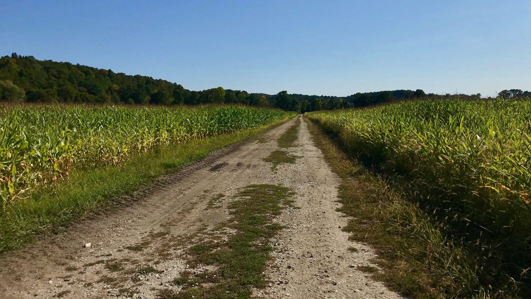
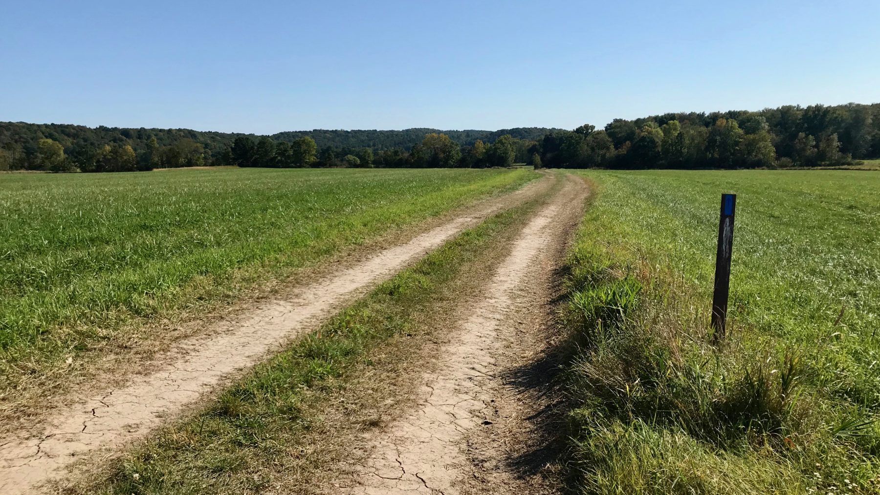
Weybridge Road provided a nice downhill road route back to the Bullet parked at the trailhead on Prunier Road. Having much more remaining daylight, and it being such a glorious day, I decided to drive to Creek Road in Middlebury and ride the Three-mile Bridge Road. Closed to traffic but bike friendly, this flat graveled road wends alongside the Otter Creek, Vermont’s longest river. An out and back cruise to the former bridge site was the perfect end of a long day outdoors. It confirmed my plan to ride the route on Day two, October 2 as part of the final leg to the Waybury Inn.
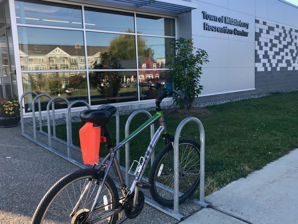
It also contributed to my thirst and hunger that I satisfied with a visit to the same. Oh, how good it was to once again be seated at the bar in the pub. Laura was busily taking care of customers at this happy hour while also listening with interest to my stories. I was also blessed by a big hug and quick hello from the chef, Donna, one of my adopted sisters. I so look forward to my upcoming three-day stay on October 1. Having enjoyed a fine draft and burger, I headed home to my humble abode along the Mill Brook with a warm and contented soul and spirit having maximized my reconnaissance and lived a huge slice of life that day. I will keep you posted as my journey begins (continues) next week.
Kevin
| North Country Trail Vermont | |
| Day 1 – October 1 | |
| Champlain Bridge to Monument Farms | |
| Bike ride to Snake Mountain Trail | 8.3 |
| Hike Snake Mountain Trail | 2.2 |
| Run to Monument Farms | 3.9 |
| Total mileage | 14.4 |
| Lodging at the Waybury Inn | |
| Need shuttle from Monument Farms to Champlain Bridge with bike | |
| Day 2 – October 2 | |
| Monument Farms to Waybury Inn | |
| Hike Prunier Trail and TAM to Creek Road | 10.9 |
| Bike to Waybury Inn | 6 |
| Total | 16.9 |
| Lodging at the Waybury Inn | |
| Need shuttle from Waybury Inn to Monument Farms dropping bike at Creek Road | |
| Day 3 – October 3 | |
| Waybury Inn to Moosalamoo Campground | |
| Hike Oak Ridge Trail to campground | 8.7 |
| Total | 8.7 |
| Lodging at the Waybury Inn | |
| Need shuttle from Waybury Inn to drop car at campground and back to Inn | |
| Day 4 – October 4 | |
| Moosalamoo Campground to Long Trail | |
| Run Catamount to Sucker Brook Trailhead | 2.4 |
| Hike Sucker Brook Trailhead up and back | 5.4 |
| Total | 7.8 |
| Need shuttle from Inn to drop car at Sucker Brook trailhead and ride to Moosalamoo Campground | |
| Total mileage to Long Trail | 47.8 |
| Optional Long Trail from Sucker Brook to Appalatian Trail | +26 |
*Robert Frost – from Reluctance
Out through the fields and the woods
And over the walls I have wended;
I have climbed the hills of view
And looked at the world, and descended;
I have come by the highway home,
And lo, it is ended.
The leaves are all dead on the ground,
Save those that the oak is keeping
To ravel them one by one
And let them go scraping and creeping
Out over the crusted snow,
When others are sleeping.
And the dead leaves lie huddled and still,
No longer blown hither and thither;
The last lone aster is gone;
The flowers of the witch hazel wither;
The heart is still aching to seek,
But the feet question ‘Whither?’
Ah, when to the heart of man
Was it ever less than a treason
To go with the drift of things,
To yield with a grace to reason,
And bow and accept the end
Of a love or a season?
